Settings
Shipping Country
Languages
- Products description
- Reviews
- Manufacturer Information
Products description
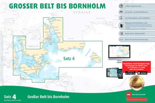
The Delius Klasing, Sea Chart Set 4, Great Belt to Bornholm contains the sea areas of Denmark from western Funen via the Great Belt, Öresund to south-west Sweden and Bornholm. This set contains the nautical charts in paper form as well as in digital version for PC, notebook and smartphone.
- A2 format in plastic bag incl. software and voucher for the digital nautical chart download.
- 4 over-sailors, 33 area and detailed charts, 108-page area guide with 60 harbour plans
- Accompanying booklet with waypoint list and harbour plans
- CD ROM with navigation software
- Annual correction, digital nautical chart permanent correction
This Product was added to our catalogue on 25/11/2021.
Customer reviews
Average rating: 0
Based on 0 Customer reviews
Write the first review please!
Manufacturer Information
Manufacturer: Delius Klasing Verlag GmbH, Siekerwall 21, 33602 Bielefeld
Kontakt: https://www.delius-klasing.de/kontakt/
Kontakt: https://www.delius-klasing.de/kontakt/
This product goes perfectly with:
Last viewed


