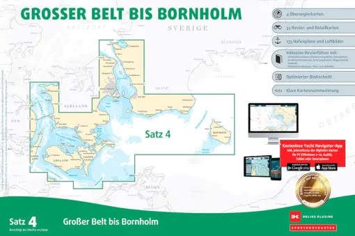
Delius Klasing Chart Set 4 Great Belt - Bornholm Paper & Digital
Item No: A116031
The Delius Klasing, Sea Chart Set 4, Great Belt to Bornholm contains the sea areas of Denmark from western Funen via the Great Belt, Öresund to south-west Sweden and Bornholm. This set contains the nautical charts in paper form as well as in digital version for PC, notebook and smartphone.
- A2 format in plastic bag incl. software and voucher for the digital nautical chart download.
- 4 over-sailors, 33 area and detailed charts, 108-page area guide with 60 harbour plans
- Accompanying booklet with waypoint list and harbour plans
- CD ROM with navigation software
- Annual correction, digital nautical chart permanent correction
Price:
78,90 EUR
incl. 19 % VAT plus Shipping Costs**
