Settings
Shipping Country
Languages
- Products description
- Reviews
- Manufacturer Information
Products description
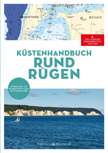
The Delius Klasing Coastal Handbook Round Rügen is a handy area guide in a practical spiral binding for the varied area from Hiddensee via Cape Arkona to Usedom. The comprehensive chart series contains all the nautical information for safe navigation at sea. Detailed descriptions and plans of harbours and anchorages ensure easy navigation - the perfect complement to the nautical chart.
- All relevant water sports areas and waters around Rügen, Hiddensee and Usedom
- Nautical charts at a scale of 1 : 40,000 with coastlines, water depths, bridges with clearance heights, beacons and navigation marks
- Detailed information on harbours, anchorages and marinas on Rügen including information on local supply options
- Contents: Hiddensee, Strelasund, Kubitzer Bodden, Breetzer Bodden, Großer Jasmunder Bodden, Wieker Bodden, Greifswalder Bodden, Hagensche Wiek, Having, Peenestrom, Achterwasser
- Features: Spiral binding with cover
- Pages: 104
- Format: 22.4 x 29.9 cm
This Product was added to our catalogue on 15/11/2022.
Customer reviews
Average rating: 0
Based on 0 Customer reviews
Write the first review please!
Manufacturer Information
Manufacturer: Delius Klasing Verlag GmbH, Siekerwall 21, 33602 Bielefeld
Kontakt: https://www.delius-klasing.de/kontakt/
Kontakt: https://www.delius-klasing.de/kontakt/
Our recommendation as an alternative or for completion:
This product goes perfectly with:
Last viewed


