My settings
Shipping Country
Languages
Product description
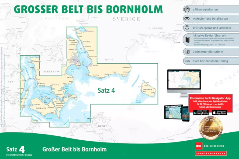
The Delius Klasing, Sea Chart Set 4, Great Belt to Bornholm contains the sea areas of Denmark from western Funen via the Great Belt, Öresund to south-west Sweden and Bornholm. This set contains the nautical charts in paper form as well as in digital version for PC, notebook and smartphone.
- A2 format in plastic bag incl. software and voucher for the digital nautical chart download.
- 4 over-sailors, 33 area and detailed charts, 108-page area guide with 60 harbour plans
- Accompanying booklet with waypoint list and harbour plans
- CD ROM with navigation software
- Annual correction, digital nautical chart permanent correction
Customer ratings:
Durchschnittliche Bewertung: 0
Basierend auf 0 Bewertungen
Write the first review please!
This product goes perfectly with:
Last viewed


