My settings
Shipping Country
Languages
Product description
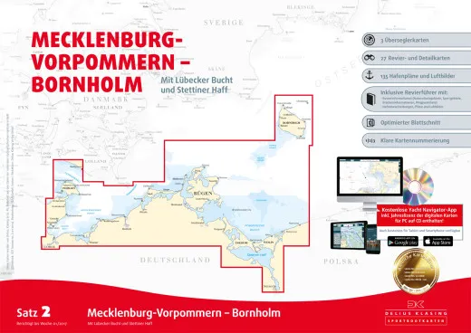
The nautical chart set 2, Mecklenburg Vorpommern, Bornholm from Delius Klasing covers the areas between Heiligenhafen and Bornholm / Szczecin. This set contains the nautical charts in paper form as well as in digital version for PC, notebook and smartphone. Included are nautical charts for the areas of Lübeck Bay, Fehmarn, Mecklenburg Bay, Rügen, Usedom, Bodden areas, Szczecin Lagoon. The set of nautical charts includes: 3 1:300000 over-sailing charts, 27 1:35000 - 1 .80000 area and detailed charts, accompanying booklet with 115 harbour plans and waypoint list. All Delius Klasing nautical charts have the following features:
- Handy pleasure craft format A2 60 × 42 cm, well thought-out page layout with nautically sensible overlapping of the charts.
- 132-page area guide with area information and waypoint list including 115 harbour plans and approx. 40 aerial photographs
- Particularly clear chart image: Land yellow, shallow water dark blue (0-2 m or 0-3 m) and light blue (2-5 m or 3-6 m) Exception: Oversailors: dark blue: (0-5 m) light blue: (5-10 m),
- 3-colour beacon colouring, coloured buoy representation in the actual buoy colour
- Red 2 m depth line as
red 2 m depth contour as danger line, particularly discreet representation of less important nautical chart data (underwater cables, restricted area lines, depth contours with high depth etc.).
- All general charts cover the entire Baltic Sea at a scale of 1:300,000, district charts are standardised per set, usually at a scale of 1:80,000 or 1:50,000. A particularly large number of additional detailed charts at scales between 1:50,000 and 1:6,000. Numbered waypoints.
- Annually updated new editions for almost all map sets. Free online correction system and printed correction system with coloured cover sheets, complete replacement map sheets for major changes. Online corrections are available during the water sports season.
Customer ratings:
Durchschnittliche Bewertung: 0
Basierend auf 0 Bewertungen
Write the first review please!
This product goes perfectly with:
Last viewed


