Settings
Shipping Country
Languages
- Products description
- Valuations
Products description
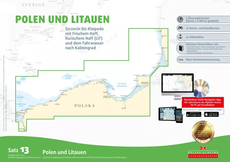
The nautical chart set 13, Poland and Lithuania from Delius Klasing edition 2020 / 2021 covers the sea area from Szczecin to Klaipeda including the Vistula and Curonian Lagoon. This set contains the nautical charts in paper form as well as in digital version for PC, notebook and smartphone. The set of nautical charts includes: 5 over-sailing charts 1:600000 and 1:300000, 17 area and detailed charts 1:35000 - 1:80000, accompanying booklet with area information, harbour plans and waypoint list. Details: - Handy pleasure craft format 60 × 42 cm, well thought-out page layout with nautically sensible overlapping of the charts. Each chart set contains an accompanying booklet with area information, waypoint list, symbol legend, harbour plans, text information on the harbours, harbour photos.
- Clear chart image: Land yellow, shallow water dark blue (0-2 m or 0-3 m) and light blue (2-5 m or 3-6 m) Exception: Oversailors: dark blue: (0-5 m) light blue: (5-10 m), 3-colour beacon colouring, coloured representation in the actual buoy colour, red 2 m depth line as
red danger line, discreet depiction of less important nautical chart data (underwater cables, restricted area lines, depth contours with high depth etc.).
- General charts covering the entire area at a scale of 1:300,000, district charts mostly at a scale of 1:80,000 or 1:50,000, many detailed charts at scales between 1:50,000 and 1:6,000, numbered waypoints, annually updated new editions for almost all chart sets, free online corrections and additional printed correction system with coloured cover sheets, complete replacement chart sheets for major changes.
- Enclosed CD-ROM with navigation software, download version of the map softwaret.
This product was added to our catalog on 26/03/2019.
Customer reviews
Average rating: 0
Based on 0 Customer reviews
Write the first review please!
This product goes perfectly with:
Last viewed


