My settings
Shipping Country
Languages
Product description
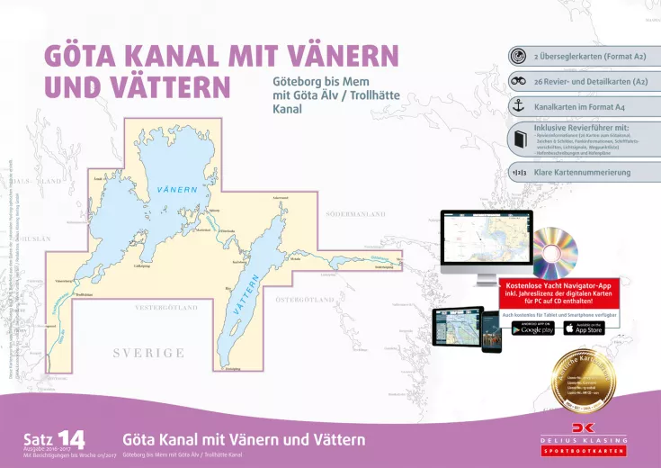
The nautical chart set 14 Sweden Göta Canal with Vänern and Vättern Edition 2020/2021 from Delius Klasing covers the area from Gothenburg to Mem with Göta Älv and Trollhätte Canal. This set includes the classic nautical charts in paper form as well as the navigation software and the downloadable digital nautical chart for PC, tablet and smart phone. The accompanying booklet contains indispensable detailed charts, harbour plans and information about the area.
- Contents: 3 trans-oceanic charts, 23 area and detailed charts, approx. 21 harbour plans, 1 accompanying booklet with 26 kchannel charts for the Göta Canal, area information and waypoint list, simple navigation software on CD, download code for the digital nautical chart
- Format: Delius Klasing A2 format 44.5 x 60.5 cm, in transparent cover
- Correction: Annual correction via correction set or permanent online correction
Customer ratings:
Durchschnittliche Bewertung: 0
Basierend auf 0 Bewertungen
Write the first review please!
This product goes perfectly with:
Last viewed


