My settings
Shipping Country
Languages
Product description
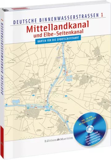
Delius Klasing, Inland Chart Mittelland Canal and Elbe Lateral Canal, paper and digital. The charts are tailored to the special needs of recreational boating, created in Mercator projection in WGS-84 chart datum and are therefore suitable for classic navigation and navigation with a GPS device. The practical fold-out A3 charts (scale 1:30,000) provide an optimum overview when travelling, and you can also use the enclosed full version of the Binnen Navigator software and the electronic chart version for navigation.
- Presentation similar to the Delius Klasing nautical charts
- Scale: 1 : 30000 and 1 : 50000
- Database with information on depths, traffic regulations, buoyage, lighting, locks and bridges, VHF radiotelephony
- Presentation similar to the Delius Klasing nautical charts
- Scale: 1 : 30000 and 1 : 50000
- Database with information on depths, traffic regulations, buoyage, lighting, locks and bridges, VHF radiotelephony
Customer ratings:
Durchschnittliche Bewertung: 0
Basierend auf 0 Bewertungen
Write the first review please!
This product goes perfectly with:
Last viewed


