Settings
Shipping Country
Languages
- Products description
- Valuations
Products description
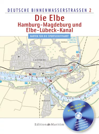
Delius Klasing, Inland chart The Elbe, Hamburg - Magdeburg, Elbe-Lübeck Canal. The charts are tailored to the special needs of recreational boating, created in Mercator projection in WGS-84 chart datum and are therefore suitable for classic navigation and navigation with GPS devices. The presentation of this inland chart corresponds to the printed chart from the Edition Maritim series and is supplemented by a CD-ROM with a PC navigation programme for inland waters, which not only shows the charts in this work on the monitor, but also makes cruise planning and practical navigation on board considerably easier.
- Presentation similar to the Delius Klasing nautical charts
- Scale: 1 : 30000 and 1 : 50000
- Database with information on depths, traffic regulations, buoyage, lighting, locks and bridges, VHF radiotelephony
- Format:Spiral binding with cover
-Pages:84,Dimensions:22.0 x 29.7 cm
-Photos and illustrations:284
-Miscellaneous:50 colour maps + CD with digital maps and navigation program
This product was added to our catalog on 12/06/2009.
Customer reviews
Average rating: 0
Based on 0 Customer reviews
Write the first review please!
Our recommendation as an alternative or for completion:
This product goes perfectly with:
Last viewed


