Settings
Shipping Country
Languages
- Products description
- Valuations
Products description
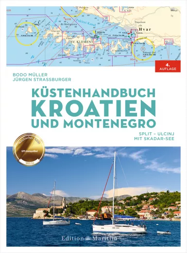
The Coastal Handbook Croatia and Montenegro covers the coast and islands of central and southern Dalmatia and Montenegro. The first part of the book contains general information on the sailing area, wind and weather, important regulations, etc. The rear part consists of 43 nautical chart sections, some of which can be folded out, in which the plans of the relevant harbours, marinas and anchorages are integrated. The charts are based on the official Croatian chart data in the WGS 84 system. This means that a GPS position can be transferred directly to the chart. Area coverage:
- Croatia: Mainland coast from Split to Dubrovnik and the islands of Brač, Hvar, Vis, Korčula, Pelješac and Mljet
- Montenegro: Mainland coast from Herceg-Novi to Ulcinj and Lake Skadar
- Format: spiral binding with cover, dimensions: 22.2 x 29.8 cm
- Pages: 80, Photos and illustrations: 35, Miscellaneous: 43 maps, 230 harbour plans
- 4th edition
- Author: Bodo Müller
This product was added to our catalog on 08/09/2017.
Customer reviews
Average rating: 0
Based on 0 Customer reviews
Write the first review please!
Our recommendation as an alternative or for completion:
Last viewed


